Enhancing Emergency Response with Affordable Drone Technology
January 29, 2025 - 16:39
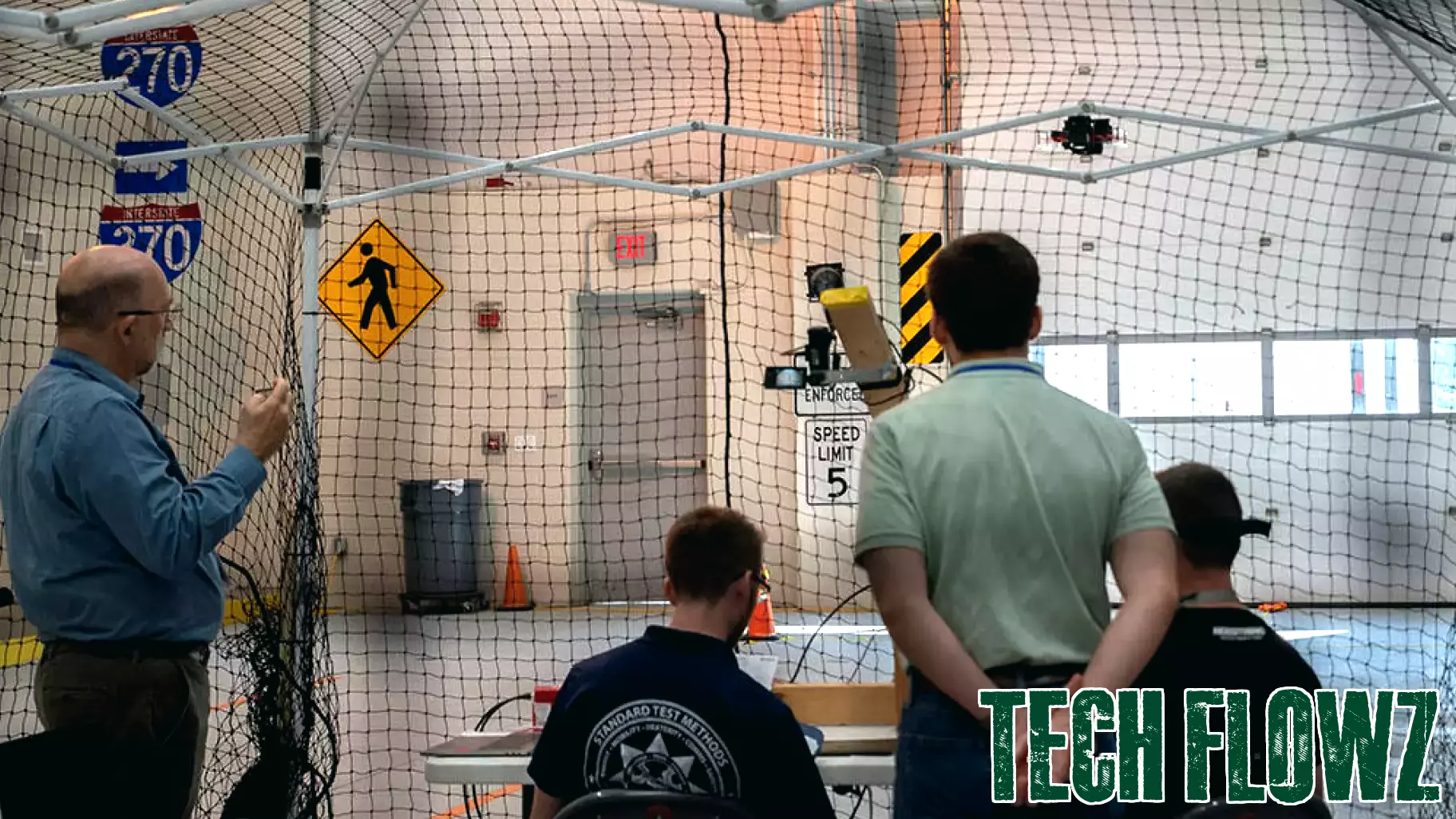
NIST is actively promoting the advancement of affordable drone technology to assist emergency workers in crisis situations. By focusing on the development of advanced drones equipped with 3D mapping capabilities, the initiative aims to provide first responders with critical information when every second counts.
These drones can swiftly assess disaster zones, creating detailed maps that highlight hazards, infrastructure damage, and potential escape routes. This technology not only enhances situational awareness but also streamlines the decision-making process for emergency personnel. The ability to visualize a disaster area in real-time can significantly improve response strategies and resource allocation.
As natural disasters become more frequent and severe, the need for innovative solutions is paramount. The integration of drone technology into emergency response efforts represents a significant leap forward. By making these advanced tools accessible and affordable, NIST is paving the way for a more efficient and effective response to emergencies, ultimately saving lives and minimizing the impact of disasters on affected communities.
MORE NEWS
June 19, 2026 - 18:53
Can ASE Technology Sustain Its Recent Margin Expansion?ASE Technology Holding Co., the world`s largest semiconductor packaging and testing service provider, is seeing its recent margin improvement hinge on a handful of high-stakes factors. The...

June 19, 2026 - 05:11
Kevin O'Leary Says 'AI Is No Different,' Technology Will Drive The 'Next Generation Of Innovation'Investor Kevin O`Leary said artificial intelligence will reshape the global job market rather than eliminate it, arguing that the technology will drive new industries, faster innovation and...
June 18, 2026 - 18:04
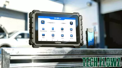
TOPDON ONE Plus Ushers in New Standard of Auto Repair Technology for Professional Repair Shops, Diagnostic SpecialistsTOPDON has introduced the ONE Plus, an advanced software solution aimed at professional repair shops and diagnostic specialists. The new system offers advanced Electronic Control Unit (ECU)...

June 18, 2026 - 03:46
Jeff Bezos says AI will create more jobs at VivaTech ParisSpeaking at the VivaTech conference in Paris, Amazon founder Jeff Bezos offered a counterintuitive take on the future of artificial intelligence. Rather than wiping out millions of jobs, Bezos...